Photo : Hatem Moushir — CC BY-SA 3.0, Wikimedia Commons
Sharm el-Sheikh · Sharm el-Sheikh, Sinai
Nabq Protected Area
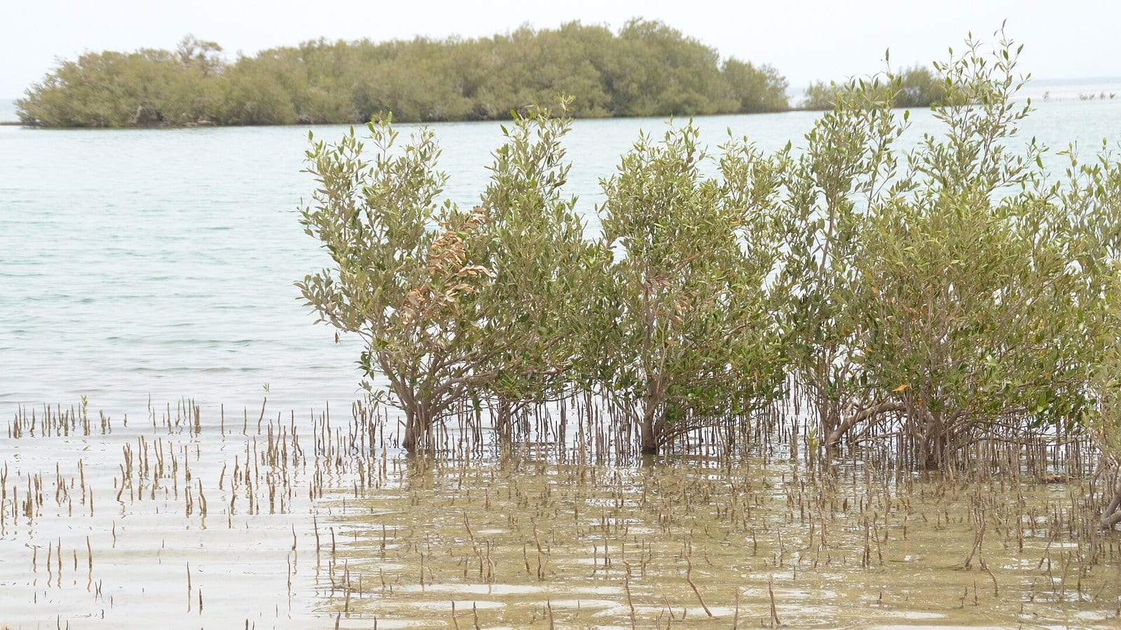
A protected area between Sharm and Dahab, where the mangroves stand with their roots in the sea.
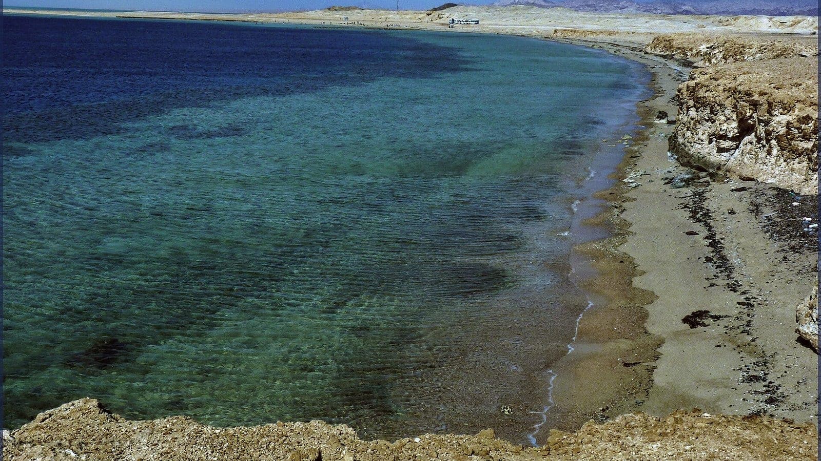
The reserve takes in the Gulf of Aqaba coast north of Sharm el-Sheikh, facing the Strait of Tiran. A belt of avicennia runs along the shore, far north for a mangrove tree: it sheds salt through its leaves and holds the sand with its aerial roots. Behind it come a salt flat, dunes and thickets of arak and acacia, and the hull of a freighter aground on the reef is visible from the beach. A small Muzeina fishing settlement lives inside the boundary. The park has a ranger post, a ticket, and simple rules: you cut no mangrove branch and you keep to the tracks.
The extra bit
Nabq is not Ras Mohammed: you come here for the mangrove and the desert, not for a famous coral wall. Go in the morning, before the wind gets the sand up.
Know before you go
The track off the Sharm–Dahab road is no place for a saloon car and the sand is unforgiving: most visitors come with a driver in a 4×4. The passport is usually asked for at the checkpoint; the ticket is per person and in cash — ask at the ranger post on the way in whether a vehicle charge is added. The stamp handed out on arrival at Sharm el-Sheikh, the “Sinai only” one, does not always cover a protected area, and the checkpoint is where it gets looked at: have the point spelled out wherever you book the day, before paying. The mangrove has mosquitoes and midges the moment the wind drops, and the water near the shore is shallow, warm and ringed with hard coral: reef shoes rather than fins. Past the mangrove there is no natural shade, and a stall open on the tracks is never a given: water, hat and lunch go in the car before you leave the tarmac.